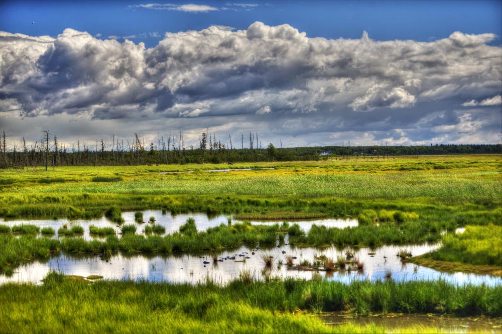
The Kenai Peninsula is lucky to have the Cook Inlet Wetlands map, a highly detailed map covering the lowland areas outside of federally managed lands (Chugach National Forest and Kenai National Wildlife Refuge). Wetlands are an important part our local “green infrastructure,” filtering water, providing wildlife habitat, and providing protection from floods.
The map and information can be accessed on our website, as well as on the Kenai Peninsula Borough’s viewKPB map website under the “Landscape” layers menu. Check out the maps to learn more about wetlands near your neighborhood or other favorite areas.
I want to build something … Do I need a permit?
Our office regularly receives inquiries from property owners about what they can and can not do related to wetlands. While we are excited to provide education and resources on this topic, for inquiries related to construction and development please contact the U.S. Army Corps of Engineers Alaska Field Office (USACE), which is the relevant regulatory agency for wetlands.
- U.S. Army Corps of Engineers Alaska Contacts
- Kenai Field Office Number: (907) 753-2689
- General Alaska Field Office Number: (907) 753-2712
- Send written inquiries at https://www.poa.usace.army.mil/Contact/
Where else can I learn more?
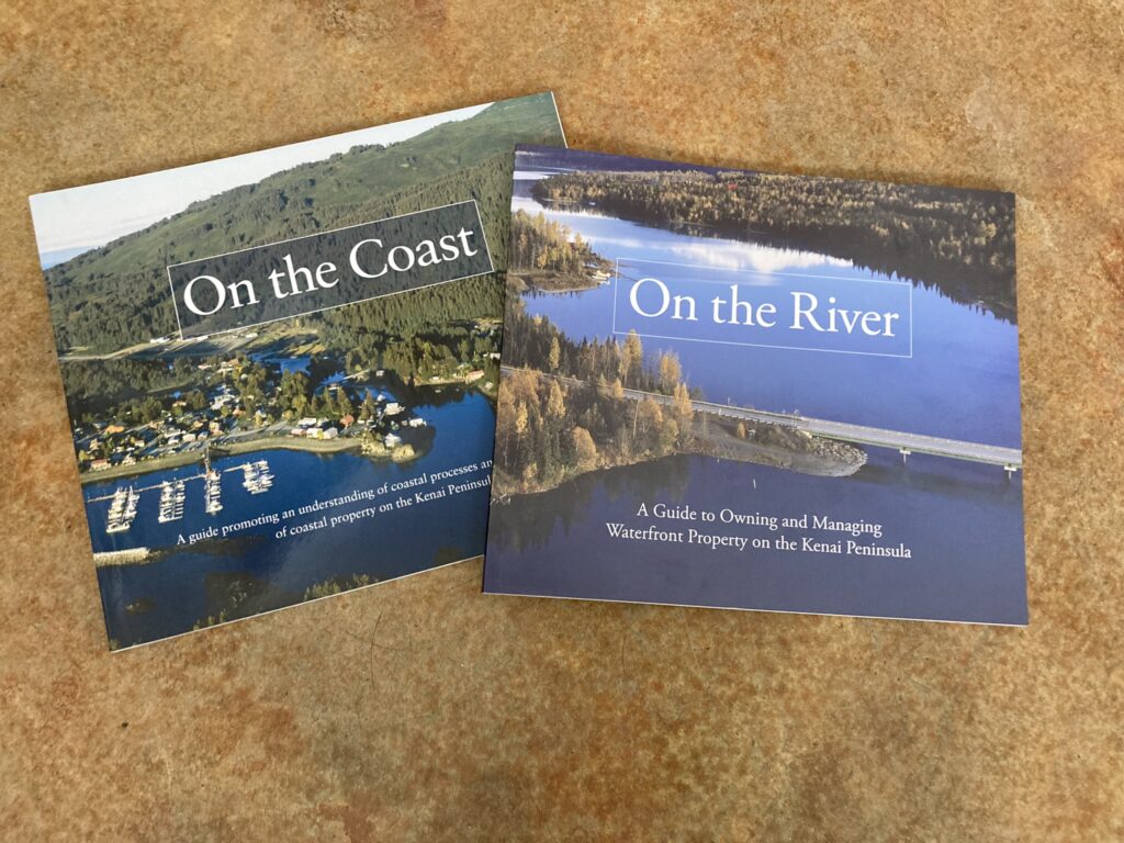
Two local resource guides, “On the River,” and “On the Coast,” are available for free online and highlight best practices for land management on waterfront property in the Kenai Borough. For free printed copies of these books, contact the Kenai River Center or stop by Kenai Watershed Forum’s office. The books both contain clear and concise information about how land owners can be responsible neighbors with fish and wildlife habitat, including wetlands. You can also read more about how Kenai Peninsula wetlands have changed since the 1950’s in this report (Gracz 2021).
We look forward to hearing from you!